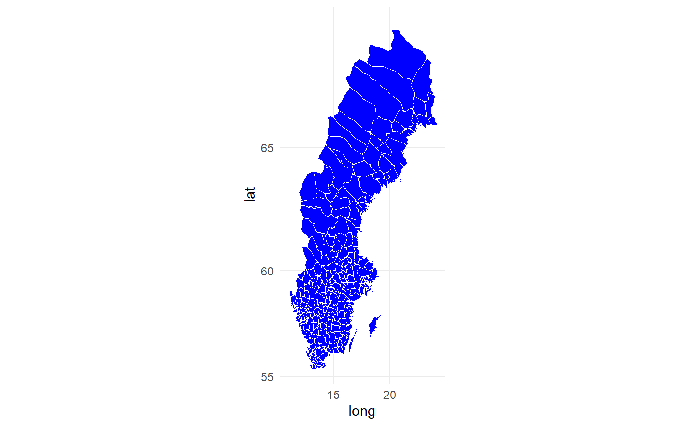
Sweden map data set with township included, compressed version
swe_kommuner.RdSweden map data set with township included, compressed version
swe_kommuner
Format
A data frame with 11488 rows and 9 variables. This is a filtered version of swe_kommuner_allpoints where all points with piece equal to "3" or larger are removed (small details) and only every thirtieth point being used (see examples).
- long
longitude, numeric
- lat
latitude, numeric
- order
specifies the order for each point, integer
- piece
"1" for the most essential, "2" and more for detailed points, factor
- group
Each region or island in the map is a polygon where each level in this variable is a polygon, factor
- ID_1
id of county, integer
- NAME_1
name of county, character
- ID_2
id of township, integer
- NAME_2
name of township, character
Examples
# How the data set was created

swe_example <- dplyr::filter(swe_kommuner_allpoints,
  piece %in% c("1", "2")) %>%
  dplyr::filter(order %% 30 == 1) %>%
  droplevels()

# Example on how to make map of Sweden using ggplot2.
# Note that coord_map() is essential for the map to be in actual scale.

ggplot2::ggplot(data = swe_kommuner, ggplot2::aes(x=long, y=lat, group = group)) +
  ggplot2::geom_polygon(color = "white", size = 0, fill = "blue")  +
  ggplot2::coord_map() +
  ggplot2::theme_minimal()
